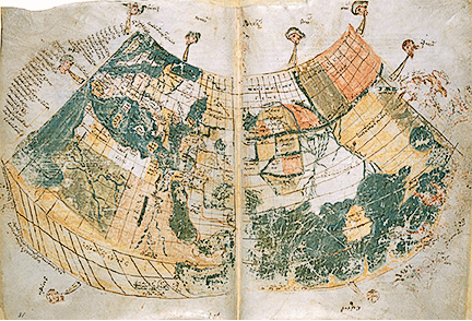
This first Ptolemaic map is in the British Library.
Printed Ptolemaic Map ( 1513)
One of the many printed versions of Ptolemy’s world map appears on page 77 of this edition at the Library of Congress.
The map below shows the outline of the area included in the Ptolemaic map shown above. Of special note is Sri Lanka (in purple) which appears disproportionately large.
View World mapped by Ptolemy in a larger map